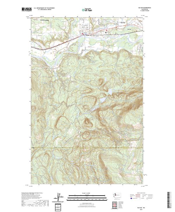
2023 Map of Sultan
USGS Topo · Published 2023About this map
The Skykomish River and its major tributaries, the Sultan River and Wallace River, converge in the northern portion of this landscape, defining the development of Sultan and the nearby settlement of Startup. Modern infrastructure, including the Old Sultan-Startup Rd and Sultan Basin Rd, follows these natural corridors, while the Sultan Mill Pond and Sultan Cem reflect the community's industrial and social centers.
Find a feature on this map
72 named features on this map. Tap any name to fly to it.
Don’t see what you’re looking for? This feature index may not catch every label — zoom into the map to look around manually.
Map Details
Editions of this 2023 Sultan Map
This is the sole edition of this map. No revisions or reprints were ever made.
Other maps of this area

1921 · Sultan
USGS Topo · 1:125,000

1923 · Sultan
USGS Topo · 1:125,000

1953 · Sultan
USGS Topo · 1:24,000

1953 · Lake Joy
USGS Topo · 1:24,000

1953 · Monroe
USGS Topo · 1:24,000

1953 · Carnation
USGS Topo · 1:24,000

1956 · Monroe
USGS Topo · 1:62,500

1957 · Index
USGS Topo · 1:62,500

1957 · Wenatchee
USGS Topo · 1:250,000

1960 · Mount Si
USGS Topo · 1:62,500