
1952 Map of Sumas
USGS Topo · Published 1954About this map
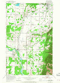
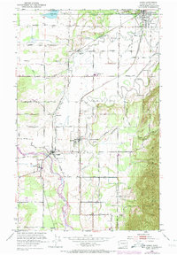
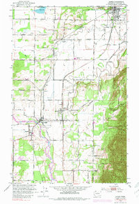
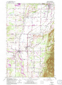
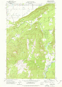
The international boundary between the Canada United States and British Columbia Washington anchors this 1952 topographic study, where the port of entry at Sumas serves as a hub for both rail and road transit. The landscape is defined by the alluvial plains of the Sumas River and Nooksack River, which supported a network of small agricultural settlements and crossroads including Clearbrook, Nooksack, and Everson. Industrial and transport infrastructure of the era is evident in the dual rail lines of the Northern Pacific and the Chicago Milwaukee St Paul and Pacific, which intersect near the border. From the eastern slopes of Sumas Mountain to the lowlands of Judson Lake, the map documents a mid-century rural economy shaped by proximity to the Canadian border and the steady flow of the river systems.
Find a feature on this map
43 named features on this map. Tap any name to fly to it.
Don’t see what you’re looking for? This feature index may not catch every label — zoom into the map to look around manually.
Map Details
Editions of this 1952 Sumas Map
5 editions found
Other maps of this area

1906 · Sumas
USGS Topo · 1:62,500

1908 · Sumas
USGS Topo · 1:62,500

1919 · Van Zandt
USGS Topo · 1:62,500

1951 · Van Zandt
USGS Topo · 1:62,500

1952 · Lynden
USGS Topo · 1:24,000

1952 · Lawrence
USGS Topo · 1:24,000

1954 · Bellingham North
USGS Topo · 1:24,000

1954 · Lynden
USGS Topo · 1:62,500

1957 · Victoria
USGS Topo · 1:250,000
1972 · Kendall
USGS Topo · 1:24,000