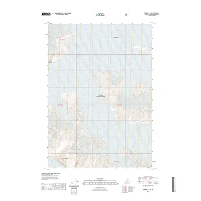
2021 Map of Sumdum A-2 NE
USGS Topo · Published 2021About this map
The Tongass National Forest dominates this landscape within the Coast Mountains, where high-elevation glacial activity is the primary driver of the terrain. The presence of the massive Baird Glacier and the distinctively named Witches Cauldron indicates a region defined by moving ice and permanent snowfields. These features, along with Oasis Glacier, illustrate the complex drainage and ice-flow patterns typical of the Alaska-British Columbia borderlands. The map reveals the intricate contouring of high peaks and ice-filled basins, where the shifting boundaries of glaciers like the Baird Glacier shape the hydrology and physical accessibility of this wilderness. This 2021 topographic record serves as a precise baseline for researchers monitoring glacial retreat and alpine landforms in one of the most significant temperate rainforest and mountain ecosystems in North America.
Find a feature on this map
11 named features on this map. Tap any name to fly to it.
Don’t see what you’re looking for? This feature index may not catch every label — zoom into the map to look around manually.
Map Details
Editions of this 2021 Sumdum A-2 NE Map
This is the sole edition of this map. No revisions or reprints were ever made.
Other maps of this area

1952 · Sumdum
USGS Topo · 1:250,000

1960 · Sumdum A-1
USGS Topo · 1:63,360

1961 · Sumdum A-2
USGS Topo · 1:63,360

1961 · Sumdum B-2
USGS Topo · 1:63,360

1961 · Sumdum
USGS Topo · 1:250,000

2000 · Sumdum A-2
USGS Topo · 1:63,360

2000 · Sumdum B-2
USGS Topo · 1:63,360
2018 · Sumdum B-2 SW
USGS Topo · 1:25,000
2018 · Sumdum A-1 NW
USGS Topo · 1:25,000
2018 · Sumdum A-2 NE
USGS Topo · 1:25,000