
2000 Map of Sumdum B-2
USGS Topo · Published 2003About this map
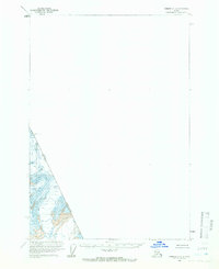
Tongass National Forest dominates this coastal mountain landscape, where ice and sea define the terrain. The presence of massive ice flows like Dawes Glacier and the Baird Glacier illustrates the glacial processes that carved the deep fjords found at Tracy Arm. This survey highlights the international frontier between the Canada United States border, following the high ridges of the Baird Range and marked by points such as Boundary Peak 74.
Find a feature on this map
16 named features on this map. Tap any name to fly to it.
Don’t see what you’re looking for? This feature index may not catch every label — zoom into the map to look around manually.
Map Details
Editions of this 2000 Sumdum B-2 Map
This is the sole edition of this map. No revisions or reprints were ever made.
Other maps of this area

1952 · Sumdum
USGS Topo · 1:250,000

1960 · Sumdum A-1
USGS Topo · 1:63,360

1961 · Sumdum A-2
USGS Topo · 1:63,360

1961 · Sumdum C-3
USGS Topo · 1:63,360

1961 · Sumdum B-2
USGS Topo · 1:63,360

1961 · Sumdum A-3
USGS Topo · 1:63,360
1961 · Sumdum C-2
USGS Topo · 1:63,360

1961 · Sumdum B-3
USGS Topo · 1:63,360

1961 · Sumdum
USGS Topo · 1:250,000

1996 · Sumdum B-3
USGS Topo · 1:63,360