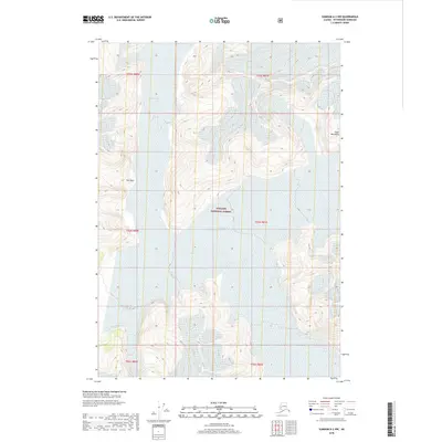
2018 Map of Sumdum A-2 NW
USGS Topo · Published 2018About this map
Baird Glacier and Sills Glacier dominate this remote Alaskan landscape within the Tongass National Forest. Located in the Coast Mountains, the terrain is defined by extreme elevation changes and vast ice fields that suggest a dynamic environment of glacial movement and meltwater. A peculiar feature known as The Oasis stands out amidst the high-altitude ice, indicating a unique topographical or ecological break in the frozen surroundings. This 2018 survey by the U.S. Geological Survey provides a precise record of the ice margins and contour lines during an era of significant glacial transition in the Petersburg Borough region.
Find a feature on this map
11 named features on this map. Tap any name to fly to it.
Don’t see what you’re looking for? This feature index may not catch every label — zoom into the map to look around manually.
Map Details
Editions of this 2018 Sumdum A-2 NW Map
This is the sole edition of this map. No revisions or reprints were ever made.
Other maps of this area

1952 · Sumdum
USGS Topo · 1:250,000

1961 · Sumdum A-2
USGS Topo · 1:63,360

1961 · Sumdum B-2
USGS Topo · 1:63,360

1961 · Sumdum A-3
USGS Topo · 1:63,360

1961 · Sumdum B-3
USGS Topo · 1:63,360

1961 · Sumdum
USGS Topo · 1:250,000

1996 · Sumdum B-3
USGS Topo · 1:63,360

2000 · Sumdum A-2
USGS Topo · 1:63,360

2000 · Sumdum B-2
USGS Topo · 1:63,360
2018 · Sumdum B-2 SW
USGS Topo · 1:25,000