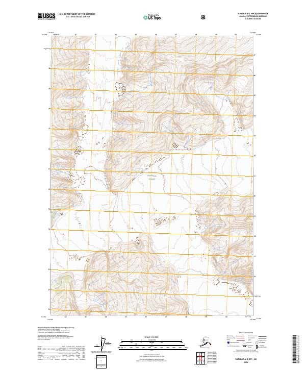
2024 Map of Sumdum A-2 NW
USGS Topo · Published 2024About this map
Tongass National Forest dominates this topographic landscape in the Sumdum A-2 NW region of Alaska. The terrain is characterized by extreme elevation changes and complex glacial or mountainous topography, where nearly all human-directed markings are restricted to the Public Land Survey System grid lines. A notable geographical exception in this otherwise unnamed expanse of the wilderness is The Oasis, a specifically identified terrain feature situated in the northwestern portion of the map. This 2024 edition, produced by the U.S. Geological Survey, provides a modern look at the remote high-country interior of the Petersburg Borough, illustrating the vast stretches of land where official naming is sparse and the natural contours of the earth are the primary story.
Find a feature on this map
8 named features on this map. Tap any name to fly to it.
Don’t see what you’re looking for? This feature index may not catch every label — zoom into the map to look around manually.
Map Details
Editions of this 2024 Sumdum A-2 NW Map
This is the sole edition of this map. No revisions or reprints were ever made.
Other maps of this area

1952 · Sumdum
USGS Topo · 1:250,000

1961 · Sumdum A-2
USGS Topo · 1:63,360

1961 · Sumdum B-2
USGS Topo · 1:63,360

1961 · Sumdum A-3
USGS Topo · 1:63,360

1961 · Sumdum B-3
USGS Topo · 1:63,360

1961 · Sumdum
USGS Topo · 1:250,000

1996 · Sumdum B-3
USGS Topo · 1:63,360

2000 · Sumdum A-2
USGS Topo · 1:63,360

2000 · Sumdum B-2
USGS Topo · 1:63,360
2018 · Sumdum B-2 SW
USGS Topo · 1:25,000