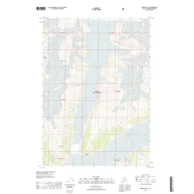
2018 Map of Sumdum A-3 NE
USGS Topo · Published 2018About this map
The Coast Mountains dominate this high-altitude Alaskan landscape within the Tongass National Forest. The map documents a heavily glaciated wilderness defined by massive ice fields and sharp peaks. Significant ice features such as Oasis Glacier and Baird Glacier fill the valleys between prominent summits, including Agassiz Peak and Dome Peak. To the south, the Buddington Range and the isolated rise of Hump Knoll provide distinct markers for navigation and study. This modern survey reflects the late-2010s state of these glaciers, providing a baseline for tracking changes in the ice and terrain of the Petersburg Borough over time. The lack of roads or human settlements emphasizes the character of this region as a protected, high-alpine environment where topographical features are the only landmarks.
Find a feature on this map
14 named features on this map. Tap any name to fly to it.
Don’t see what you’re looking for? This feature index may not catch every label — zoom into the map to look around manually.
Map Details
Editions of this 2018 Sumdum A-3 NE Map
This is the sole edition of this map. No revisions or reprints were ever made.
Other maps of this area

1952 · Sumdum
USGS Topo · 1:250,000

1961 · Sumdum A-2
USGS Topo · 1:63,360

1961 · Sumdum B-2
USGS Topo · 1:63,360

1961 · Sumdum A-3
USGS Topo · 1:63,360

1961 · Sumdum B-3
USGS Topo · 1:63,360

1961 · Sumdum
USGS Topo · 1:250,000

1996 · Sumdum B-3
USGS Topo · 1:63,360

2000 · Sumdum A-2
USGS Topo · 1:63,360

2000 · Sumdum B-2
USGS Topo · 1:63,360
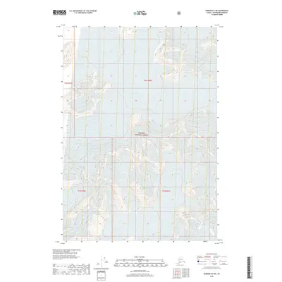
2018 · Sumdum B-2 SW
USGS Topo · 1:25,000