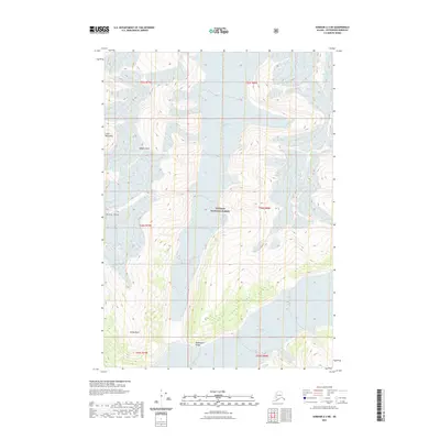
2021 Map of Sumdum A-3 NE
USGS Topo · Published 2021About this map
The Coast Mountains dominate this high-altitude landscape within the Tongass National Forest, where massive ice fields and sharp summits define the geography. The glacial systems are the most prominent features, including the expansive Baird Glacier and its northern branch, North Baird Glacier, along with the Oogisik Glacier tucked into the northeastern corner. These ice flows have carved deep valleys between high-relief peaks such as Agassiz Peak and Dome Peak. To the south, the Buddington Range and the isolated rise of Hump Knoll indicate the transition of the terrain as it descends toward the coastal waterways. This 2021 survey illustrates a wilderness nearly untouched by human infrastructure, where the primary markers are the natural elevations and the shifting boundaries of permanent ice.
Find a feature on this map
15 named features on this map. Tap any name to fly to it.
Don’t see what you’re looking for? This feature index may not catch every label — zoom into the map to look around manually.
Map Details
Editions of this 2021 Sumdum A-3 NE Map
This is the sole edition of this map. No revisions or reprints were ever made.
Other maps of this area

1952 · Sumdum
USGS Topo · 1:250,000

1961 · Sumdum A-2
USGS Topo · 1:63,360

1961 · Sumdum B-2
USGS Topo · 1:63,360

1961 · Sumdum A-3
USGS Topo · 1:63,360

1961 · Sumdum B-3
USGS Topo · 1:63,360

1961 · Sumdum
USGS Topo · 1:250,000

1996 · Sumdum B-3
USGS Topo · 1:63,360

2000 · Sumdum A-2
USGS Topo · 1:63,360

2000 · Sumdum B-2
USGS Topo · 1:63,360
2018 · Sumdum B-2 SW
USGS Topo · 1:25,000