
1948 Map of Sumdum A-6
USGS Topo · Published 1957About this map
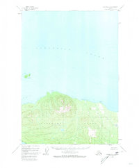
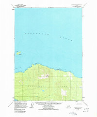
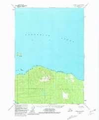
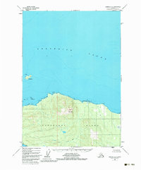
Kupreanof Island dominates the southern half of this mid-century survey, its heavily contoured landscape rising to the peak of Turn Mountain. Located within the Tongass National Forest, the region is characterized by a complex coastline and deep glacial waterways. To the north, Frederick Sound opens into broad reaches of water, punctuated only by the isolated Turnabout I, which is marked with a Light to aid maritime navigation through these northern passages.
Find a feature on this map
10 named features on this map. Tap any name to fly to it.
Don’t see what you’re looking for? This feature index may not catch every label — zoom into the map to look around manually.
Map Details
Editions of this 1948 Sumdum A-6 Map
5 editions found
Other maps of this area

1948 · Sitka B-1
USGS Topo · 1:63,360

1948 · Sumdum A-5
USGS Topo · 1:63,360

1948 · Sumdum B-6
USGS Topo · 1:63,360

1948 · Sumdum B-5
USGS Topo · 1:63,360

1948 · Petersburg D-6
USGS Topo · 1:63,360

1948 · Port Alexander D-1
USGS Topo · 1:63,360

1948 · Sitka A-1
USGS Topo · 1:63,360

1948 · Petersburg D-5
USGS Topo · 1:63,360

1951 · Sitka
USGS Topo · 1:250,000

1951 · Port Alexander
USGS Topo · 1:250,000