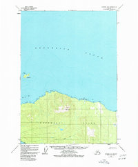
1948 Map of Sumdum A-6
USGS Topo · Published 1977About this map
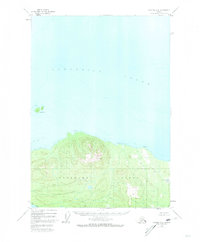
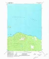
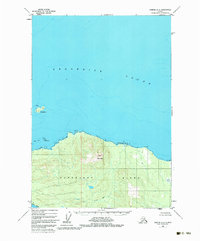
Kupreanof Island dominates this 1948 survey, showcasing the northern coastline where the land meets the expansive waters of Frederick Sound. The interior of the island is defined by the significant rise of Turn Mountain, while Gunnuk Creek drains the local topography toward the southwest. This map records the shoreline in fine detail, capturing maritime landmarks such as Pinta Pt, the hazards of Pinta Rocks, and the isolated position of Turnabout I. Entirely contained within the Tongass National Forest, the landscape remains largely undeveloped at mid-century, lacking any roads or trails. Notable coastal labels include Schooner Ore and Slate No 2, which provide specific points of reference along the northern edge of the island facing the sound.
Find a feature on this map
11 named features on this map. Tap any name to fly to it.
Don’t see what you’re looking for? This feature index may not catch every label — zoom into the map to look around manually.
Map Details
Editions of this 1948 Sumdum A-6 Map
5 editions found
Other maps of this area

1948 · Sitka B-1
USGS Topo · 1:63,360

1948 · Sumdum A-5
USGS Topo · 1:63,360

1948 · Sumdum A-6
USGS Topo · 1:63,360

1948 · Sumdum B-6
USGS Topo · 1:63,360

1948 · Sumdum B-5
USGS Topo · 1:63,360

1948 · Petersburg D-6
USGS Topo · 1:63,360

1948 · Port Alexander D-1
USGS Topo · 1:63,360

1948 · Sitka A-1
USGS Topo · 1:63,360

1948 · Petersburg D-5
USGS Topo · 1:63,360

1951 · Sitka
USGS Topo · 1:250,000