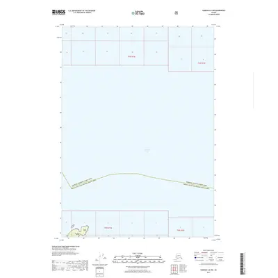
2017 Map of Sumdum A-6 NW
USGS Topo · Published 2017About this map
Frederick Sound dominates this coastal survey, where the open waters of the Alexander Archipelago meet the fragmented shorelines of Southeast Alaska. The southern portion of the map is defined by the presence of Turnabout Island, a notable landmass situated within the protected boundaries of the Tnf. This area reflects the complex administrative geography of the region, as the maritime boundary between the Hoonah-Angoon Census Area and the Prince of Wales-Hyder Census Area cuts across the sound. The map provides a precise look at the township and range system over the water and remote islands, including coordinates for T53S R72E and T55S R72E, documenting the spatial organization of this wilderness as it was recorded in the early twenty-first century.
Find a feature on this map
7 named features on this map. Tap any name to fly to it.
Don’t see what you’re looking for? This feature index may not catch every label — zoom into the map to look around manually.
Map Details
Editions of this 2017 Sumdum A-6 NW Map
This is the sole edition of this map. No revisions or reprints were ever made.
Other maps of this area

1948 · Sitka B-1
USGS Topo · 1:63,360

1948 · Sumdum A-6
USGS Topo · 1:63,360

1948 · Sumdum B-6
USGS Topo · 1:63,360

1948 · Sitka A-1
USGS Topo · 1:63,360

1951 · Sitka
USGS Topo · 1:250,000

1951 · Sitka B-1
USGS Topo · 1:63,360

1952 · Sumdum
USGS Topo · 1:250,000

1952 · Sitka
USGS Topo · 1:250,000

1961 · Sumdum
USGS Topo · 1:250,000

1964 · Sitka
USGS Topo · 1:250,000