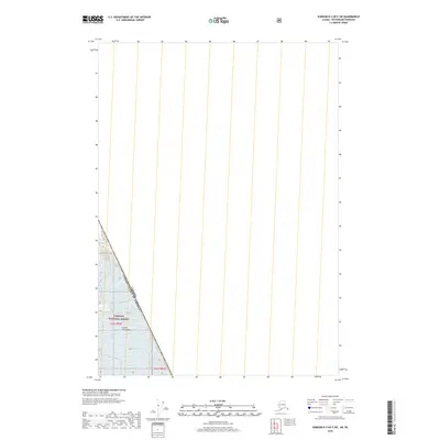
2018 Map of Sumdum B-2 OE E SW
USGS Topo · Published 2018About this map
The Canada United States of America international boundary cuts through the southwestern corner of this coastal Alaskan terrain, marking the high-altitude divide within the Coast Mountains. This isolated landscape is dominated by the heavily glaciated slopes of the Tongass National Forest, where the topography is defined by ice and rock rather than human settlement. The presence of the Third Glacier signifies the massive glacial systems that have shaped the borderlands of the Petersburg Borough. Land use is largely restricted to federal management, indicated by the Public Land Survey System designations for t53s r82e and t53s r83e in an area where the transition from maritime forest to alpine ice fields remains the primary geographic feature.
Find a feature on this map
16 named features on this map. Tap any name to fly to it.
Don’t see what you’re looking for? This feature index may not catch every label — zoom into the map to look around manually.
Map Details
Editions of this 2018 Sumdum B-2 OE E SW Map
This is the sole edition of this map. No revisions or reprints were ever made.
Other maps of this area

1952 · Sumdum
USGS Topo · 1:250,000

1960 · Sumdum A-1
USGS Topo · 1:63,360

1961 · Sumdum A-2
USGS Topo · 1:63,360

1961 · Sumdum B-2
USGS Topo · 1:63,360

1961 · Sumdum
USGS Topo · 1:250,000

2000 · Sumdum A-2
USGS Topo · 1:63,360

2000 · Sumdum B-2
USGS Topo · 1:63,360
2018 · Sumdum A-1 NW
USGS Topo · 1:25,000
2018 · Sumdum A-2 NE
USGS Topo · 1:25,000
2018 · Sumdum B-2 SE
USGS Topo · 1:25,000