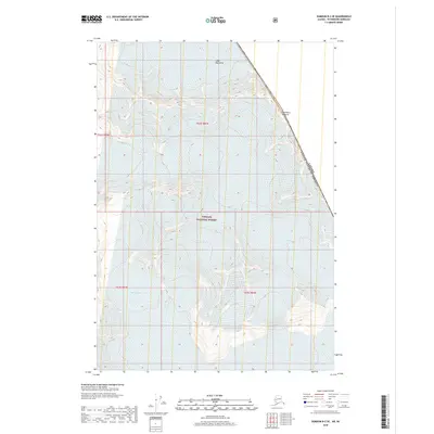
2018 Map of Sumdum B-2 SE
USGS Topo · Published 2018About this map
Coast Mountains peaks and massive ice fields dominate this high-altitude landscape along the international border between Alaska and British Columbia. The terrain is characterized by the expansive flows of Dawes Glacier in the northern half and Baird Glacier to the south, illustrating the dramatic glacial topography of the Tongass National Forest. This survey captures the remote wilderness at a time when the jagged boundary line, marked by high points such as Boundary Peak 73, serves as the only definitive human-defined structure across the frozen landscape. The map provides an intricate look at the sheer verticality of the region, where contour lines tightly trace the steep ascent from glacial valleys to alpine summits.
Find a feature on this map
10 named features on this map. Tap any name to fly to it.
Don’t see what you’re looking for? This feature index may not catch every label — zoom into the map to look around manually.
Map Details
Editions of this 2018 Sumdum B-2 SE Map
This is the sole edition of this map. No revisions or reprints were ever made.
Other maps of this area

1952 · Sumdum
USGS Topo · 1:250,000

1960 · Sumdum A-1
USGS Topo · 1:63,360

1961 · Sumdum A-2
USGS Topo · 1:63,360

1961 · Sumdum B-2
USGS Topo · 1:63,360

1961 · Sumdum
USGS Topo · 1:250,000

2000 · Sumdum A-2
USGS Topo · 1:63,360

2000 · Sumdum B-2
USGS Topo · 1:63,360
2018 · Sumdum B-2 SW
USGS Topo · 1:25,000
2018 · Sumdum A-1 NW
USGS Topo · 1:25,000
2018 · Sumdum A-2 NE
USGS Topo · 1:25,000