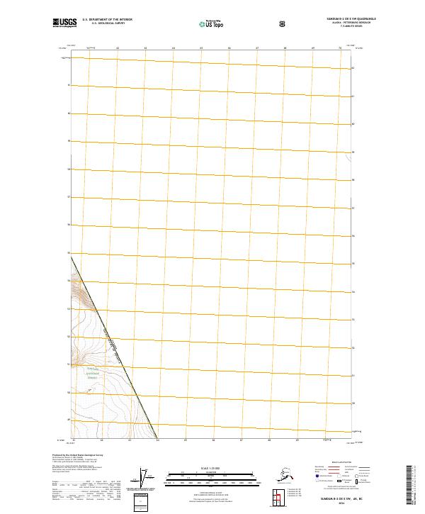
2024 Map of Sumdum B-2 OE E SW
USGS Topo · Published 2024About this map
The Canada United States of America border runs along a high mountain ridge in this remote section of Southeast Alaska. This 2024 survey documents a rugged corner of the Tongass National Forest where the international boundary serves as the primary defining feature of the landscape. The map focuses on the steep elevations of Townships t53s r82e and t53s r83e, providing a precise look at the glaciated terrain and topographic contours that characterize this high-altitude wilderness. Without roads or permanent settlements, the area remains an untouched expanse of protected forest land directly adjacent to British Columbia.
Find a feature on this map
4 named features on this map. Tap any name to fly to it.
Don’t see what you’re looking for? This feature index may not catch every label — zoom into the map to look around manually.
Map Details
Editions of this 2024 Sumdum B-2 OE E SW Map
This is the sole edition of this map. No revisions or reprints were ever made.
Other maps of this area

1952 · Sumdum
USGS Topo · 1:250,000

1960 · Sumdum A-1
USGS Topo · 1:63,360

1961 · Sumdum A-2
USGS Topo · 1:63,360

1961 · Sumdum B-2
USGS Topo · 1:63,360

1961 · Sumdum
USGS Topo · 1:250,000

2000 · Sumdum A-2
USGS Topo · 1:63,360

2000 · Sumdum B-2
USGS Topo · 1:63,360
2018 · Sumdum A-1 NW
USGS Topo · 1:25,000
2018 · Sumdum A-2 NE
USGS Topo · 1:25,000
2018 · Sumdum B-2 OE E SW
USGS Topo · 1:25,000