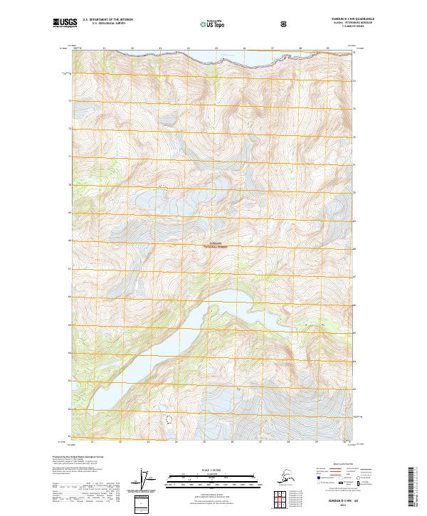
2021 Map of Sumdum B-3 NW
USGS Topo · Published 2021About this map
Endicott Arm defines the northern edge of this remote coastal landscape in Southeast Alaska, where tidewater meets the heavily glaciated terrain of the Tongass National Forest. The map illustrates a dramatic wilderness dominated by steep elevation gains and complex drainage patterns, characteristic of the fjords within the Petersburg Borough. Unlike more settled regions, this area is defined by its natural hydrology and the absence of established roads or towns, reflecting the preservation of the landscape under federal management. Researchers studying the topography of the Panhandle can trace the intricate contours that rise sharply from the waterline into high peaks, shaped by the glacial processes that have carved these waterways over millennia.
Find a feature on this map
8 named features on this map. Tap any name to fly to it.
Don’t see what you’re looking for? This feature index may not catch every label — zoom into the map to look around manually.
Map Details
Editions of this 2021 Sumdum B-3 NW Map
This is the sole edition of this map. No revisions or reprints were ever made.
Other maps of this area

1943 · Sumdum B-4
USGS Topo · 1:63,360

1948 · Sumdum B-4
USGS Topo · 1:63,360

1952 · Sumdum
USGS Topo · 1:250,000

1961 · Sumdum C-3
USGS Topo · 1:63,360

1961 · Sumdum C-4
USGS Topo · 1:63,360

1961 · Sumdum B-3
USGS Topo · 1:63,360

1961 · Sumdum
USGS Topo · 1:250,000

1996 · Sumdum B-3
USGS Topo · 1:63,360

1996 · Sumdum B-4
USGS Topo · 1:63,360

2000 · Sumdum C-3
USGS Topo · 1:63,360