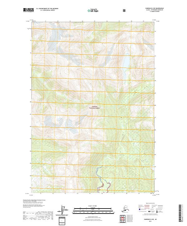
2021 Map of Sumdum B-4 NE
USGS Topo · Published 2021About this map
Tongass National Forest dominates this Alaskan landscape, characterized by the winding path of the Chuck River. This high-elevation wilderness within the Petersburg Borough shows a complex network of glacial valleys and steep ridgelines, typical of the coastal rainforest interior. The mapping focuses on the intricate topography of the region, where the river system carves through heavily contoured terrain. Without the presence of developed roads or settlements, the map provides a clear picture of the undisturbed natural drainages and primary watercourses that define this part of the forest. Researchers can observe the interaction between the alpine elevations and the hydrologic patterns of the river basin as it was documented in this twenty-first-century survey.
Find a feature on this map
8 named features on this map. Tap any name to fly to it.
Don’t see what you’re looking for? This feature index may not catch every label — zoom into the map to look around manually.
Map Details
Editions of this 2021 Sumdum B-4 NE Map
This is the sole edition of this map. No revisions or reprints were ever made.
Other maps of this area

1943 · Sumdum B-4
USGS Topo · 1:63,360

1948 · Sumdum B-4
USGS Topo · 1:63,360

1952 · Sumdum
USGS Topo · 1:250,000

1961 · Sumdum C-3
USGS Topo · 1:63,360

1961 · Sumdum C-4
USGS Topo · 1:63,360

1961 · Sumdum B-3
USGS Topo · 1:63,360

1961 · Sumdum
USGS Topo · 1:250,000

1996 · Sumdum B-3
USGS Topo · 1:63,360

1996 · Sumdum B-4
USGS Topo · 1:63,360

2000 · Sumdum C-3
USGS Topo · 1:63,360