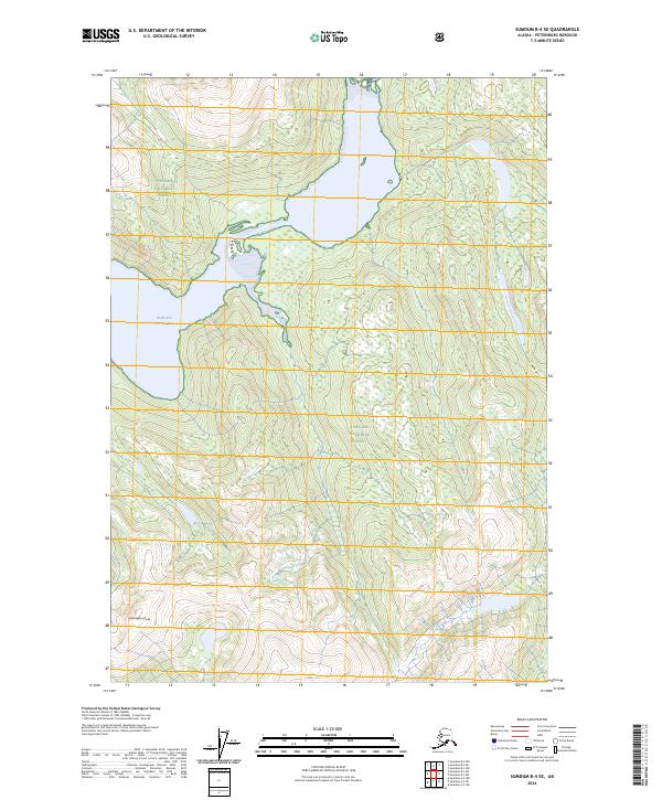
2024 Map of Sumdum B-4 SE
USGS Topo · Published 2024About this map
Tongass National Forest dominates this coastal landscape, where the tides of the North Arm Port Houghton reach deep into the mountainous terrain. The map details a strictly preserved environment, transitioning into the Tracy Arm-Fords Terror Wilderness in the northeast. Rising above the southern expanse, Washington Peak stands as the primary landmark for navigating this undeveloped wilderness. The topographical structure reveals a complex network of glacial valleys and steep ridgelines, typical of the Alexander Archipelago's mainland interior. Surveyed boundaries like t52s r77e and t53s r78e define the administrative layout of this protected area, where the intersection of maritime inlets and high-elevation peaks characterizes the local geography.
Find a feature on this map
8 named features on this map. Tap any name to fly to it.
Don’t see what you’re looking for? This feature index may not catch every label — zoom into the map to look around manually.
Map Details
Editions of this 2024 Sumdum B-4 SE Map
This is the sole edition of this map. No revisions or reprints were ever made.
Other maps of this area

1943 · Sumdum B-4
USGS Topo · 1:63,360

1948 · Sumdum A-4
USGS Topo · 1:63,360

1948 · Sumdum B-4
USGS Topo · 1:63,360

1951 · Sumdum A-4
USGS Topo · 1:63,360

1952 · Sumdum
USGS Topo · 1:250,000

1961 · Sumdum A-3
USGS Topo · 1:63,360

1961 · Sumdum B-3
USGS Topo · 1:63,360

1961 · Sumdum
USGS Topo · 1:250,000

1996 · Sumdum B-3
USGS Topo · 1:63,360

1996 · Sumdum B-4
USGS Topo · 1:63,360