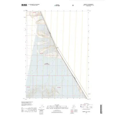
2018 Map of Sumdum C-3 NE
USGS Topo · Published 2018About this map
Boundary Peak 76 stands as a prominent marker along the international line where the high wilderness of the Tongass National Forest meets the border of Canada and the United States of America. This 2018 survey documents a landscape defined by extreme elevation and high-altitude terrain, where the Public Land Survey System grids of t47s r78e, t48s r78e, and t49s r78e terminate against the diagonal boundary. The map illustrates the literal edge of American territory in the Alaskan panhandle, capturing the precise points where administrative townships and ranges dissolve into the alpine frontier of British Columbia.
Find a feature on this map
7 named features on this map. Tap any name to fly to it.
Don’t see what you’re looking for? This feature index may not catch every label — zoom into the map to look around manually.
Map Details
Editions of this 2018 Sumdum C-3 NE Map
This is the sole edition of this map. No revisions or reprints were ever made.
Other maps of this area

1952 · Sumdum
USGS Topo · 1:250,000

1961 · Sumdum D-3
USGS Topo · 1:63,360

1961 · Sumdum C-3
USGS Topo · 1:63,360
1961 · Sumdum C-2
USGS Topo · 1:63,360

1961 · Sumdum
USGS Topo · 1:250,000

2000 · Sumdum C-3
USGS Topo · 1:63,360
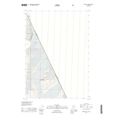
2018 · Sumdum C-2 SW
USGS Topo · 1:25,000
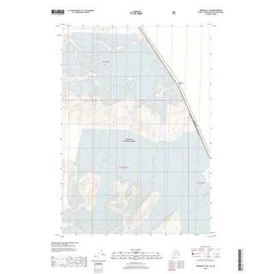
2018 · Sumdum D-3 SW
USGS Topo · 1:25,000
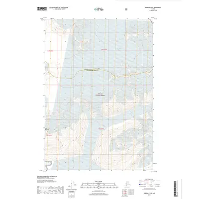
2018 · Sumdum C-3 SE
USGS Topo · 1:25,000
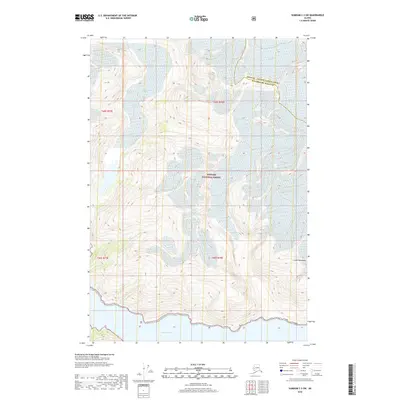
2018 · Sumdum C-3 SW
USGS Topo · 1:25,000