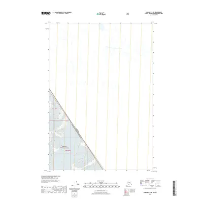
2020 Map of Sumdum D-3 NW
USGS Topo · Published 2020About this map
The international border between Canada and the United States defines the character of this remote landscape, cutting diagonally through a wilderness primarily preserved within the Tongass National Forest. This 2020 topographic study captures a high-latitude region where political boundaries meet significant natural barriers. The map details the Public Land Survey System townships of t45s r77e and t46s r77e, providing a precise look at the drainage patterns and elevation contours that dictate movement through this trans-border terrain. It is a specialized record of a place where the human footprint is limited to the survey lines that mark the edge of two nations.
Find a feature on this map
4 named features on this map. Tap any name to fly to it.
Don’t see what you’re looking for? This feature index may not catch every label — zoom into the map to look around manually.
Map Details
Editions of this 2020 Sumdum D-3 NW Map
This is the sole edition of this map. No revisions or reprints were ever made.
Other maps of this area

1951 · Taku River A-4
USGS Topo · 1:63,360

1952 · Sumdum
USGS Topo · 1:250,000

1953 · Taku River
USGS Topo · 1:250,000

1960 · Taku River
USGS Topo · 1:250,000

1960 · Sumdum D-4
USGS Topo · 1:63,360

1961 · Sumdum D-3
USGS Topo · 1:63,360

1961 · Sumdum
USGS Topo · 1:250,000
1994 · Sumdum D-4
USGS Topo · 1:63,360
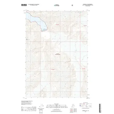
2017 · Sumdum D-4 SE
USGS Topo · 1:25,000
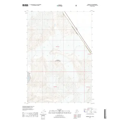
2017 · Sumdum D-4 NE
USGS Topo · 1:25,000