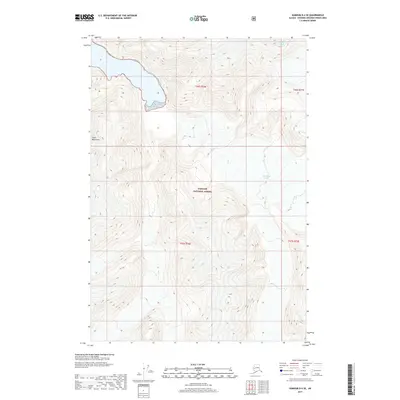
2017 Map of Sumdum D-4 SE
USGS Topo · Published 2017About this map
The Sawyer Glacier and South Sawyer Glacier dominate the high-altitude topography of the Coast Mountains within the Tongass National Forest. This 2017 survey documents the glacial extent and the sheer verticality of the terrain, where ice-carved valleys and steep ridges define the landscape of the Hoonah-Angoon Census Area. The map highlights the intersection of coastal glacial systems with the protected boundaries of the national forest, illustrating the intricate drainage patterns and geological formations characteristic of Southeast Alaska. Without roads or settlements, the sheet serves as a primary record of the glacial margins and mountainous backcountry in the t46s r76e and t47s r77e townships.
Find a feature on this map
8 named features on this map. Tap any name to fly to it.
Don’t see what you’re looking for? This feature index may not catch every label — zoom into the map to look around manually.
Map Details
Editions of this 2017 Sumdum D-4 SE Map
This is the sole edition of this map. No revisions or reprints were ever made.
Other maps of this area

1952 · Sumdum
USGS Topo · 1:250,000

1960 · Sumdum D-4
USGS Topo · 1:63,360

1961 · Sumdum D-3
USGS Topo · 1:63,360

1961 · Sumdum C-3
USGS Topo · 1:63,360

1961 · Sumdum C-4
USGS Topo · 1:63,360

1961 · Sumdum
USGS Topo · 1:250,000
1994 · Sumdum D-4
USGS Topo · 1:63,360

2000 · Sumdum C-3
USGS Topo · 1:63,360
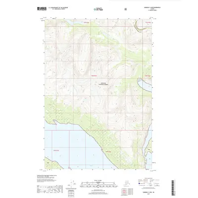
2017 · Sumdum C-4 NW
USGS Topo · 1:25,000
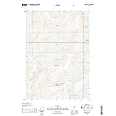
2017 · Sumdum D-4 SW
USGS Topo · 1:25,000