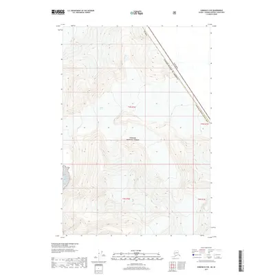
2017 Map of Sumdum D-4 NE
USGS Topo · Published 2017About this map
Sawyer Glacier dominates the upper reaches of this high-latitude terrain, where ice and elevation define the borderlands of the Hoonah-Angoon Census Area. The landscape is primarily within the boundaries of the Tongass National Forest, showcasing the massive scale of the Alaskan wilderness. Along the eastern edge, the international boundary separates Alaska from Canada, with the United States of America line cutting through steep, unnamed peaks and glacial valleys. This 2017 survey provides a detailed record of the ice extent and topographical contours during the early 21st century, serving as a critical data point for understanding the physical geography of this coastal range before further glacial retreat occurs.
Find a feature on this map
10 named features on this map. Tap any name to fly to it.
Don’t see what you’re looking for? This feature index may not catch every label — zoom into the map to look around manually.
Map Details
Editions of this 2017 Sumdum D-4 NE Map
This is the sole edition of this map. No revisions or reprints were ever made.
Other maps of this area

1951 · Taku River A-4
USGS Topo · 1:63,360

1952 · Sumdum
USGS Topo · 1:250,000

1953 · Taku River
USGS Topo · 1:250,000

1960 · Taku River
USGS Topo · 1:250,000

1960 · Sumdum D-4
USGS Topo · 1:63,360

1961 · Sumdum D-3
USGS Topo · 1:63,360

1961 · Sumdum
USGS Topo · 1:250,000
1994 · Sumdum D-4
USGS Topo · 1:63,360
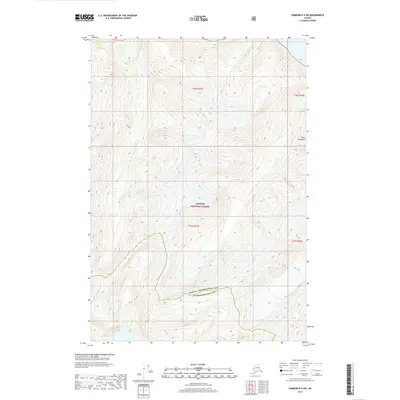
2017 · Sumdum D-4 SW
USGS Topo · 1:25,000
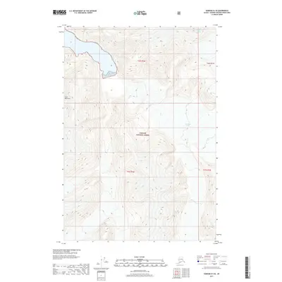
2017 · Sumdum D-4 SE
USGS Topo · 1:25,000