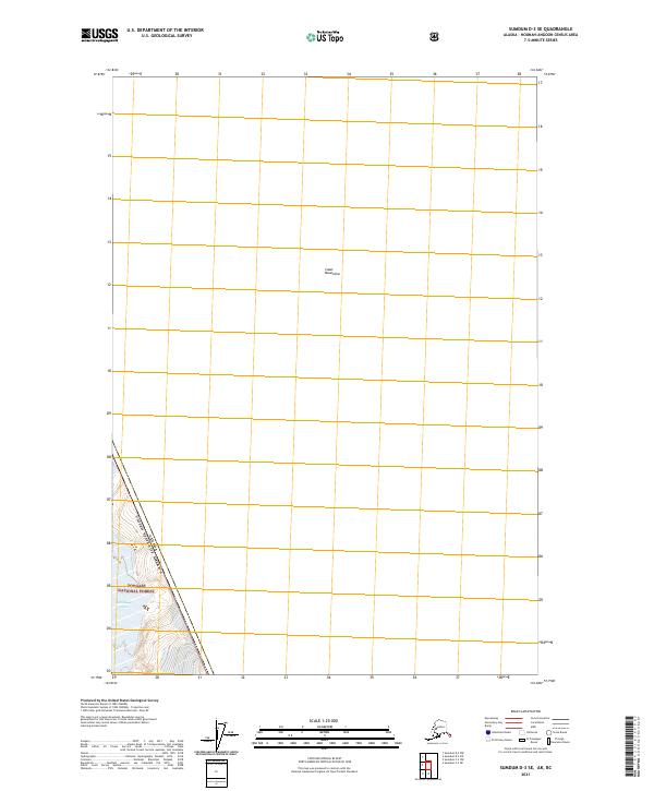
2021 Map of Sumdum D-3 SE
USGS Topo · Published 2021About this map
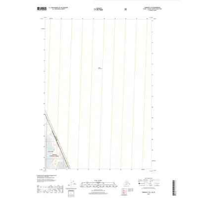
The international border between the Canada and the United States of America cuts through this isolated section of the Coast Mountains. This 2021 survey illustrates a remote wilderness where the high peaks and glaciers of the Tongass National Forest meet the Canadian frontier. The map is defined by extreme verticality and the absence of human infrastructure, focusing instead on the natural topography of the glacial landscape. It captures a specific section of the border within township t47s r78e, documenting the precise line where these two nations meet amidst the ice and rock of the Alaskan panhandle.
Find a feature on this map
4 named features on this map. Tap any name to fly to it.
Don’t see what you’re looking for? This feature index may not catch every label — zoom into the map to look around manually.
Map Details
Editions of this 2021 Sumdum D-3 SE Map
This is the sole edition of this map. No revisions or reprints were ever made.
Other maps of this area

1952 · Sumdum
USGS Topo · 1:250,000

1961 · Sumdum D-3
USGS Topo · 1:63,360

1961 · Sumdum C-3
USGS Topo · 1:63,360
1961 · Sumdum C-2
USGS Topo · 1:63,360

1961 · Sumdum
USGS Topo · 1:250,000

2000 · Sumdum C-3
USGS Topo · 1:63,360
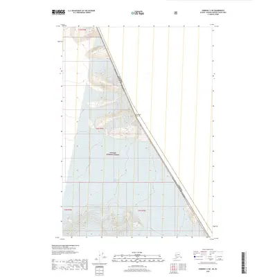
2018 · Sumdum C-3 NE
USGS Topo · 1:25,000
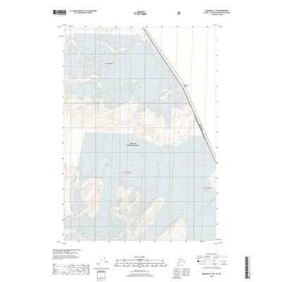
2018 · Sumdum D-3 SW
USGS Topo · 1:25,000
2018 · Sumdum D-3 SE
USGS Topo · 1:25,000
2018 · Sumdum C-3 NW
USGS Topo · 1:25,000