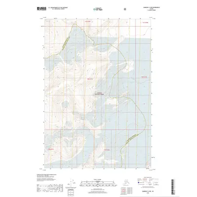
2018 Map of Sumdum C-3 NW
USGS Topo · Published 2018About this map
The glacial landscape of the Tongass National Forest is the defining characteristic of this 2018 survey. The map details the massive ice structures of the South Sawyer Glacier in the northeastern reaches and the North Dawes Glacier further south. These moving ice fields dictate the local geography, surrounded by the steep, unnamed topographic contours of the Unorganized Borough. The boundary between the Petersburg Borough and the Hoonah-Angoon Census Area cuts diagonally across the high terrain, marking a jurisdictional divide in an otherwise untouched wilderness. The lack of roads, trails, or man-made settlements highlights the isolation of this corner of Alaska, where the environment is dominated entirely by active glaciation and high-elevation topography.
Find a feature on this map
4 named features on this map. Tap any name to fly to it.
Don’t see what you’re looking for? This feature index may not catch every label — zoom into the map to look around manually.
Map Details
Editions of this 2018 Sumdum C-3 NW Map
This is the sole edition of this map. No revisions or reprints were ever made.
Other maps of this area

1952 · Sumdum
USGS Topo · 1:250,000

1960 · Sumdum D-4
USGS Topo · 1:63,360

1961 · Sumdum D-3
USGS Topo · 1:63,360

1961 · Sumdum C-3
USGS Topo · 1:63,360

1961 · Sumdum C-4
USGS Topo · 1:63,360

1961 · Sumdum
USGS Topo · 1:250,000
1994 · Sumdum D-4
USGS Topo · 1:63,360

2000 · Sumdum C-3
USGS Topo · 1:63,360
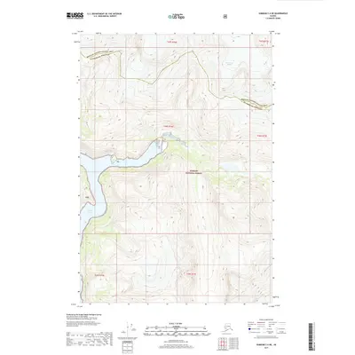
2017 · Sumdum C-4 NE
USGS Topo · 1:25,000
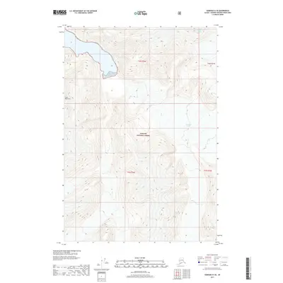
2017 · Sumdum D-4 SE
USGS Topo · 1:25,000