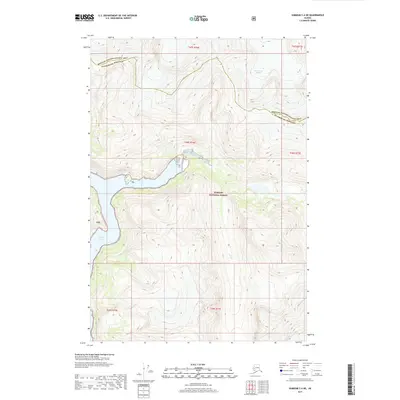
2017 Map of Sumdum C-4 NE
USGS Topo · Published 2017About this map
Tongass National Forest dominates this Alaskan landscape, where the boundary between the Hoonah-Angoon Census Area and the Petersburg Borough snakes across high ridgelines. The topography is defined by the massive South Sawyer Glacier in the northeast and the dramatic coastal inlet of Fords Terror to the west. This 2017 survey by the U.S. Geological Survey illustrates the intersection of glacial ice and marine waterways in a region where human infrastructure is entirely absent. The map detail highlights the sheer elevation changes and complex drainage patterns that characterize this wilderness, providing an essential look at the shifting ice margins and geological borders that define the modern limits of these administrative districts.
Find a feature on this map
11 named features on this map. Tap any name to fly to it.
Don’t see what you’re looking for? This feature index may not catch every label — zoom into the map to look around manually.
Map Details
Editions of this 2017 Sumdum C-4 NE Map
This is the sole edition of this map. No revisions or reprints were ever made.
Other maps of this area

1952 · Sumdum
USGS Topo · 1:250,000

1960 · Sumdum D-4
USGS Topo · 1:63,360

1961 · Sumdum D-3
USGS Topo · 1:63,360

1961 · Sumdum C-3
USGS Topo · 1:63,360

1961 · Sumdum C-4
USGS Topo · 1:63,360

1961 · Sumdum
USGS Topo · 1:250,000
1994 · Sumdum D-4
USGS Topo · 1:63,360

2000 · Sumdum C-3
USGS Topo · 1:63,360
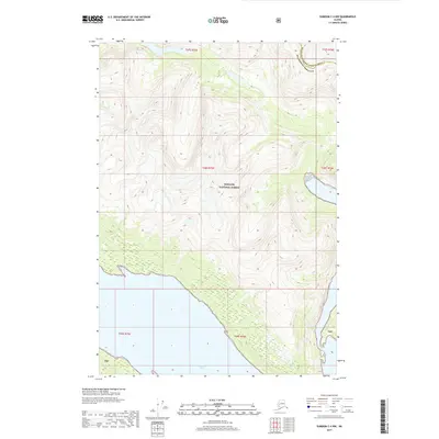
2017 · Sumdum C-4 NW
USGS Topo · 1:25,000
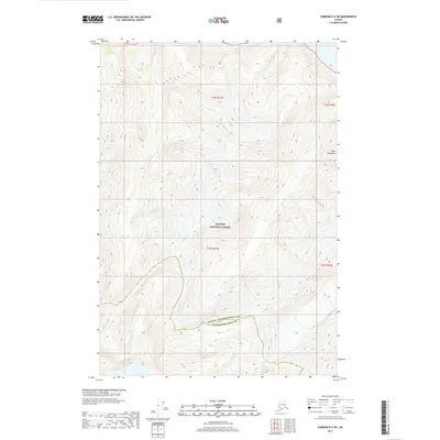
2017 · Sumdum D-4 SW
USGS Topo · 1:25,000