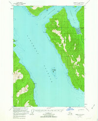
1951 Map of Sumdum D-6
USGS Topo · Published 1963About this map
Stephens Passage dominates this mid-century survey of the Tongass National Forest, separating the eastern shores of Admiralty Island from the mainland's Snettisham Peninsula. The map highlights the extractive history of the region, specifically at the head of Port Snettisham where Friday Mine and the Crystal Mines are situated near the now-marked Snettisham (Aban'd) settlement. This area, accessed by water through Gilbert Bay, reflects the shift from active mining operations to a quieter wilderness state by the early 1950s.
Find a feature on this map
28 named features on this map. Tap any name to fly to it.
Don’t see what you’re looking for? This feature index may not catch every label — zoom into the map to look around manually.
Map Details
Editions of this 1951 Sumdum D-6 Map
3 editions found

Other maps of this area

1948 · Sitka D-1
USGS Topo · 1:63,360

1948 · Sitka C-1
USGS Topo · 1:63,360

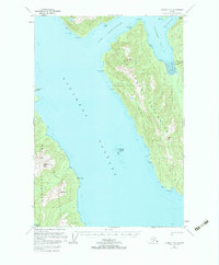
1948 · Sumdum D-6
USGS Topo · 1:63,360

1948 · Sumdum C-5
USGS Topo · 1:63,360

1948 · Sumdum C-6
USGS Topo · 1:63,360

1948 · Sumdum D-5
USGS Topo · 1:63,360

1951 · Juneau
USGS Topo · 1:250,000

1951 · Taku River A-5
USGS Topo · 1:63,360

1951 · Taku River A-6
USGS Topo · 1:63,360

1951 · Sitka
USGS Topo · 1:250,000