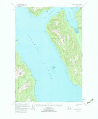
1951 Map of Sumdum D-6
USGS Topo · Published 1983About this map
Snettisham (Aband) sits at the edge of Port Snettisham, serving as a silent reminder of early 20th-century industrial activity in the Tongass National Forest. This 1951 record highlights the extractive history of the Snettisham Peninsula, where Crystal Mines and Friday Mine operated amidst the steep terrain. The landscape is defined by deep glacial fjords and heavy runoff, marked by Sweetheart Falls and the silt-laden mouth of the Whiting River at The Gorge.
Find a feature on this map
28 named features on this map. Tap any name to fly to it.
Don’t see what you’re looking for? This feature index may not catch every label — zoom into the map to look around manually.
Map Details
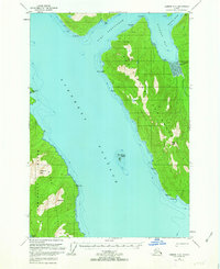
Editions of this 1951 Sumdum D-6 Map
3 editions found

Other maps of this area

1948 · Sitka D-1
USGS Topo · 1:63,360

1948 · Sitka C-1
USGS Topo · 1:63,360

1948 · Sumdum D-6
USGS Topo · 1:63,360

1948 · Sumdum C-5
USGS Topo · 1:63,360

1948 · Sumdum C-6
USGS Topo · 1:63,360

1948 · Sumdum D-5
USGS Topo · 1:63,360

1951 · Juneau
USGS Topo · 1:250,000

1951 · Taku River A-5
USGS Topo · 1:63,360

1951 · Taku River A-6
USGS Topo · 1:63,360

1951 · Sitka
USGS Topo · 1:250,000