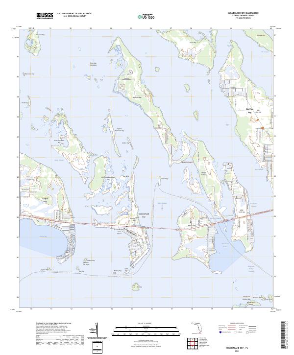
2024 Map of Summerland Key
USGS Topo · Published 2024About this map
National Key Deer Refuge and the Great White Heron National Wildlife Refuge dominate this section of the lower Florida Keys, preserving a complex of islands and shallow water habitats. The map detail highlights the residential development of Summerland Key, Ramrod Key, and Big Pine Key, where networks of canals and residential streets like Puerto Bello Dr and Jolly Roger Dr indicate the modern island lifestyle. Transportation is anchored by the Florida Keys Overseas Heritage Trl and the legacy of Old US Hwy 1, which connect these keys across channels like Niles Channel and Kemp Channel. Smaller, more isolated islands such as Knockemdown Key, Gopher Key, and Toptree Hammock Key are scattered throughout the surrounding waters, including Cudjoe Bay and Newfound Harbor. The presence of the Summerland Key Cove Airport and the private community at Venture Out Keys further illustrates the specific infrastructure required for life in this sub-tropical archipelago.
Find a feature on this map
99 named features on this map. Tap any name to fly to it.
Don’t see what you’re looking for? This feature index may not catch every label — zoom into the map to look around manually.
Map Details
Editions of this 2024 Summerland Key Map
This is the sole edition of this map. No revisions or reprints were ever made.
Other maps of this area

1921 · Sugar Loaf Key
USGS Topo · 1:62,500

1943 · Saddlebunch Keys
USGS Topo · 1:24,000

1943 · Sugarloaf Key
USGS Topo · 1:24,000

1968 · Saddlebunch Keys
USGS Topo · 1:24,000

1972 · Big Pine Key
USGS Topo · 1:24,000

1972 · Loggerhead Key
USGS Topo · 1:24,000
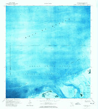
1972 · Sawyer Key
USGS Topo · 1:24,000

1972 · Horseshoe Keys
USGS Topo · 1:24,000

1972 · Content Keys
USGS Topo · 1:24,000
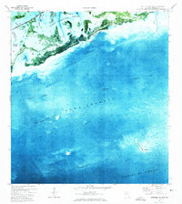
1972 · Saddlebunch Keys
USGS Topo · 1:24,000