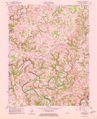
1961 Map of Summersville
USGS Topo · Published 1972About this map
The winding Green River and its complex network of tributaries like Big Pitman Creek dominate this central Kentucky landscape in the early 1960s. These waterways are marked by unique deep pools and bends such as The Narrows of Pitman, Paddy Hole, and Beaverhouse Hole, which served as vital local landmarks. In the northern portion of the map, the community of Summersville serves as a hub, complete with a contemporary Drive-in Theater and a small Airstrip.
Find a feature on this map
55 named features on this map. Tap any name to fly to it.
Don’t see what you’re looking for? This feature index may not catch every label — zoom into the map to look around manually.
Map Details
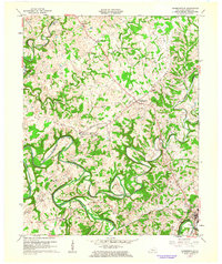
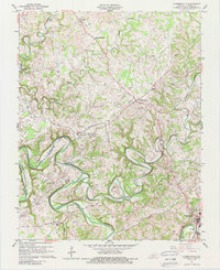
Editions of this 1961 Summersville Map
Other maps of this area

1953 · Saloma
USGS Topo · 1:24,000

1953 · Hudgins
USGS Topo · 1:24,000

1953 · Hibernia
USGS Topo · 1:24,000

1953 · Summersville
USGS Topo · 1:24,000

1953 · Exie
USGS Topo · 1:24,000

1953 · Magnolia
USGS Topo · 1:24,000

1953 · Gresham
USGS Topo · 1:24,000

1953 · Center
USGS Topo · 1:24,000

1954 · Greensburg
USGS Topo · 1:24,000

1957 · Winchester
USGS Topo · 1:250,000