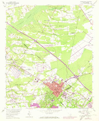
1958 Map of Summerville
USGS Topo · Published 1973About this map
Cypress Swamp dominates the northwestern landscape of this Dorchester and Berkeley County border region, giving way to a network of drainage branches that define the local topography. The town of Summerville serves as the central hub, showing significant urban expansion by the early 1970s, including development around the Alston Schools and the County Hospital. Further west, the Clemson College Coastal Experiment Station and the J E Locklair Memorial Airport indicate the integration of academic research and aviation into the rural landscape.
Find a feature on this map
46 named features on this map. Tap any name to fly to it.
Don’t see what you’re looking for? This feature index may not catch every label — zoom into the map to look around manually.
Map Details
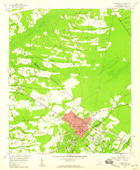
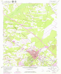
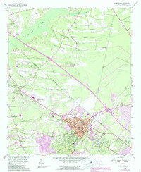
Editions of this 1958 Summerville Map
4 editions found
Other maps of this area

1918 · Cottageville
USGS Topo · 1:62,500

1919 · Ladson
USGS Topo · 1:21,120

1919 · Summerville
USGS Topo · 1:48,000

1919 · Ridgeville
USGS Topo · 1:48,000

1920 · Ravenels
USGS Topo · 1:62,500

1920 · Ridgeville
USGS Topo · 1:62,500

1920 · Summerville
USGS Topo · 1:62,500

1943 · Cottageville
USGS Topo · 1:62,500

1943 · Ladson
USGS Topo · 1:24,000

1943 · Ridgeville
USGS Topo · 1:62,500