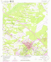
1958 Map of Summerville
USGS Topo · Published 1979About this map
The town of Summerville serves as the focal point of this coastal plain landscape, where the traditional grid of the town center meets the expanding residential developments of the late 1970s. The area is defined by the extensive Cypress Swamp to the northwest and a network of named waterways including Sawmill Branch and Rumphs Hill Creek. Significant institutional and industrial footprints are evident, from the Clemson College Coastal Experiment Station to the Brickkilns located near the town boundary. Transport infrastructure is prominent, featuring the Southern railroad line and modern highway developments at Interchange 194 and Interchange 199. The map also captures several smaller communities such as Lincolnville, Jedburg, and Knightsville, along with local landmarks like the J E Locklair Jr Memorial Airport and Couch Hospital, illustrating the region's mid-century growth and its transition toward more complex suburban patterns.
Find a feature on this map
50 named features on this map. Tap any name to fly to it.
Don’t see what you’re looking for? This feature index may not catch every label — zoom into the map to look around manually.
Map Details
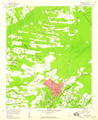
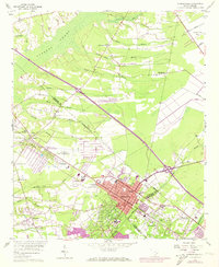
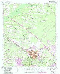
Editions of this 1958 Summerville Map
4 editions found
Other maps of this area

1918 · Cottageville
USGS Topo · 1:62,500

1919 · Ladson
USGS Topo · 1:21,120

1919 · Summerville
USGS Topo · 1:48,000

1919 · Ridgeville
USGS Topo · 1:48,000

1920 · Ravenels
USGS Topo · 1:62,500

1920 · Ridgeville
USGS Topo · 1:62,500

1920 · Summerville
USGS Topo · 1:62,500

1943 · Cottageville
USGS Topo · 1:62,500

1943 · Ladson
USGS Topo · 1:24,000

1943 · Ridgeville
USGS Topo · 1:62,500