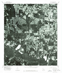
1976 Map of Sun NW
USGS Topo · Published 1977About this map
Sun and Rio anchor this 1976 orthophotoquad, which captures the rural landscape of Washington Parish through direct aerial imagery rather than traditional topographic illustration. The photograph reveals a complex patchwork of managed timberlands and agricultural clearings typical of the Florida Parishes region during the mid-1970s. The meandering course of Lees Creek cuts through the northern portion of the map, its dark, forested corridor contrasting sharply with the geometric patterns of nearby land use. This specific format of map is particularly valuable for genealogists and local historians, as it shows the exact placement of structures, farm roads, and property boundaries relative to the surrounding vegetation at the time the imagery was recorded by the U.S. Geological Survey.
Find a feature on this map
3 named features on this map. Tap any name to fly to it.
Don’t see what you’re looking for? This feature index may not catch every label — zoom into the map to look around manually.
Map Details
Editions of this 1976 Sun NW Map
This is the sole edition of this map. No revisions or reprints were ever made.
Other maps of this area

1939 · Zona
USGS Topo · 1:31,680

1942 · Waldheim
USGS Topo · 1:31,680

1942 · Thigpen
USGS Topo · 1:31,680

1942 · Talisheek
USGS Topo · 1:31,680

1942 · Rio
USGS Topo · 1:31,680

1942 · Walkiah Bluff
USGS Topo · 1:31,680

1942 · Pools Bluff
USGS Topo · 1:31,680

1949 · Bogalusa East
USGS Topo · 1:31,680

1949 · Bogalusa West
USGS Topo · 1:31,680

1953 · Mobile
USGS Topo · 1:250,000