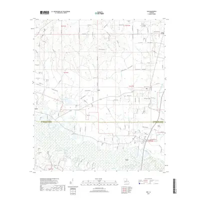
2018 Map of Sun
USGS Topo · Published 2018About this map
The Bogue Chitto river and its complex network of sloughs and cutoffs dominate the southern half of this landscape along the border of Washington and St. Tammany Parishes. In this late 2010s survey, the area around Sun and Isabel reveals a rural territory defined by timbered tracts and family lineages. The map is particularly dense with burial sites, including the Talleys Chapel Cem, Old Magee Cem, and the Hillview Memorial Gardens, providing a clear spatial record for genealogical research in this part of Louisiana. Further north, small communities like Rio, Stein, and Lees Creek are connected by a grid of parish roads. The bottomland environment is characterized by distinctive water features such as Squaw Slough, Holdens Island, and Fish Slu, illustrating the shifting course of the Little River as it interacts with the primary river channel.
Find a feature on this map
140 named features on this map. Tap any name to fly to it.
Don’t see what you’re looking for? This feature index may not catch every label — zoom into the map to look around manually.
Map Details
Editions of this 2018 Sun Map
This is the sole edition of this map. No revisions or reprints were ever made.
Other maps of this area

1939 · Zona
USGS Topo · 1:31,680

1942 · Waldheim
USGS Topo · 1:31,680

1942 · Thigpen
USGS Topo · 1:31,680

1942 · Talisheek
USGS Topo · 1:31,680

1942 · Rio
USGS Topo · 1:31,680

1942 · Walkiah Bluff
USGS Topo · 1:31,680

1942 · Pools Bluff
USGS Topo · 1:31,680

1949 · Bogalusa East
USGS Topo · 1:31,680

1949 · Bogalusa West
USGS Topo · 1:31,680

1953 · Mobile
USGS Topo · 1:250,000