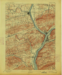
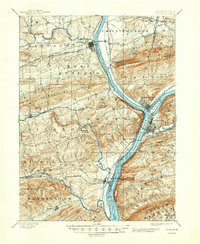
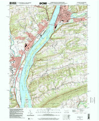
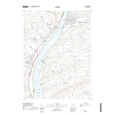
1893 Map of Sunbury
USGS Topo · Published 1913About this map
The confluence of the North Branch Susquehanna River and the West Branch Susquehanna River serves as the focal point for this late nineteenth-century industrial landscape. Significant rail and water infrastructure centers on the hubs of Sunbury and Northumberland, where the Shamokin Div. and Penn. Railroad intersect. Traces of the region's transport history are visible in the path of the Penn. Canal running parallel to the West Branch, while educational foundations are marked at Bucknell near Lewisburg. The terrain is defined by the prominent Montour Mountain and Limestone Ridge, which funnel development into the fertile valleys. Smaller settlements like New Berlin, Selinsgrove, and Mazeppa are connected by a dense network of country roads, illustrating the established agricultural and mill economy along Buffalo Creek and Penns Creek before modern highways reshaped the valley.
Find a feature on this map
63 named features on this map. Tap any name to fly to it.
Don’t see what you’re looking for? This feature index may not catch every label — zoom into the map to look around manually.
Map Details
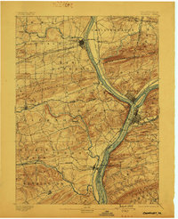
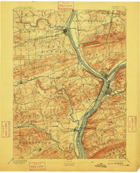
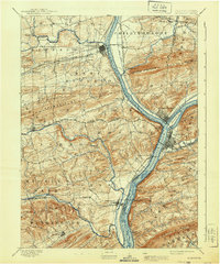
Editions of this 1893 Sunbury Map
6 editions found

Historical Maps of Sunbury Through Time
11 maps found
1893 Sunbury
Northumberland County, PA

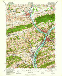
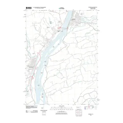
1943 Sunbury
Northumberland County, PA
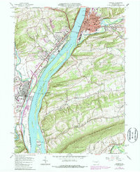
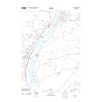
1953 Sunbury
Northumberland County, PA
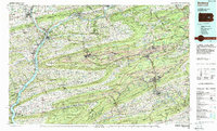
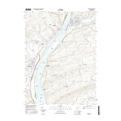
1965 Sunbury
Northumberland County, PA
1984 Sunbury
Northumberland County, PA
1999 Sunbury
Northumberland County, PA
2010 Sunbury
Northumberland County, PA
2013 Sunbury
Northumberland County, PA
2016 Sunbury
Northumberland County, PA
2019 Sunbury
Northumberland County, PA
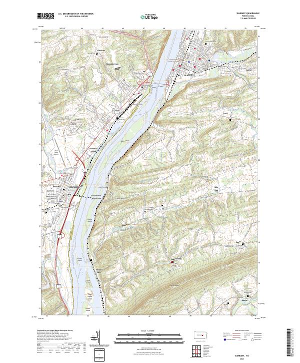
2023 Sunbury
Northumberland County, PA