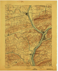
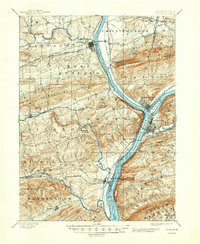
1893 Map of Sunbury
USGS Topo · Published 1899About this map
The confluence of the West and North Branches of the Susquehanna River anchors this late 19th-century survey of Northumberland and Snyder counties. The industrial and transportation identity of Sunbury and Northumberland is evident in the dense network of infrastructure, where the Penn. Canal runs parallel to the West Branch Susquehanna River and multiple rail lines like the Shamokin & Pottsville R. R. converge. The landscape is defined by the prominent ridge of Shamokin Mt. and the agricultural expanse of Buffalo Valley, which links the regional centers of Lewisburg and Vicksburg.
Find a feature on this map
62 named features on this map. Tap any name to fly to it.
Don’t see what you’re looking for? This feature index may not catch every label — zoom into the map to look around manually.
Map Details
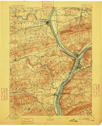
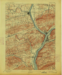
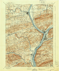
Editions of this 1893 Sunbury Map
6 editions found
Other maps of this area

1892 · Lykens
USGS Topo · 1:62,500

1892 · Shamokin
USGS Topo · 1:62,500

1893 · Sunbury
USGS Topo · 1:62,500

1893 · Lykens
USGS Topo · 1:62,500

1893 · Shamokin
USGS Topo · 1:62,500

1893 · Millersburg
USGS Topo · 1:62,500

1907 · Millerstown
USGS Topo · 1:62,500

1921 · Williamsport
USGS Topo · 1:48,000

1923 · Williamsport
USGS Topo · 1:62,500

1924 · Milton
USGS Topo · 1:62,500