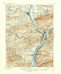
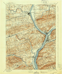
1893 Map of Sunbury
USGS Topo · Published 1947About this map
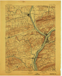
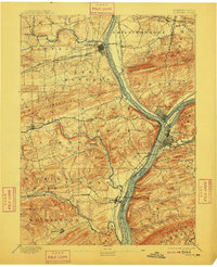
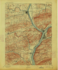
The confluence of the West Branch and the Susquehanna River serves as the industrial and transit hub of this 1891 survey. Three major towns—Sunbury, Northumberland, and Lewisburg—anchor a landscape defined by the nineteenth-century canal-and-rail economy. The presence of the Penn. Canal and the Sunbury Division railroad along the riverbanks illustrates the transport infrastructure that once connected these river towns.
Find a feature on this map
71 named features on this map. Tap any name to fly to it.
Don’t see what you’re looking for? This feature index may not catch every label — zoom into the map to look around manually.
Map Details
Editions of this 1893 Sunbury Map
6 editions found
Other maps of this area

1892 · Lykens
USGS Topo · 1:62,500

1892 · Shamokin
USGS Topo · 1:62,500

1893 · Sunbury
USGS Topo · 1:62,500

1893 · Lykens
USGS Topo · 1:62,500

1893 · Shamokin
USGS Topo · 1:62,500

1893 · Millersburg
USGS Topo · 1:62,500

1907 · Millerstown
USGS Topo · 1:62,500

1921 · Williamsport
USGS Topo · 1:48,000

1923 · Williamsport
USGS Topo · 1:62,500

1924 · Milton
USGS Topo · 1:62,500