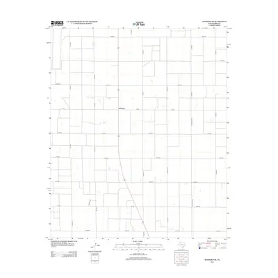
2012 Map of Sundown SE
USGS Topo · Published 2012About this map
Needmore serves as the central point of reference in this corner of the High Plains, where the landscape is organized into a rigorous grid of agricultural plots. The territory is defined by an extensive network of county roads, including Co Rd-210 and Co Rd-355, which facilitate the movement of local resources across the Llano Estacado. This 2012 survey by the U.S. Geological Survey illustrates the intersection of state-maintained routes like FM-211 and Ranch Road 2066 with local paths such as Thunder Rd. The map reveals a land usage pattern dominated by large-scale farming or ranching, where small depressions in the terrain provide the only break in the geometric regularity of the Texas South Plains.
Find a feature on this map
20 named features on this map. Tap any name to fly to it.
Don’t see what you’re looking for? This feature index may not catch every label — zoom into the map to look around manually.
Map Details
Editions of this 2012 Sundown SE Map
This is the sole edition of this map. No revisions or reprints were ever made.
Other maps of this area

1954 · Brownfield
USGS Topo · 1:250,000

1957 · Meadow
USGS Topo · 1:62,500

1958 · Brownfield
USGS Topo · 1:250,000

1962 · Brownfield
USGS Topo · 1:250,000

1965 · Sundown
USGS Topo · 1:24,000

1965 · Lockettville
USGS Topo · 1:24,000

1969 · Brownfield East
USGS Topo · 1:24,000

1969 · Gomez
USGS Topo · 1:24,000

1969 · Sundown SE
USGS Topo · 1:24,000

1969 · Pool
USGS Topo · 1:24,000