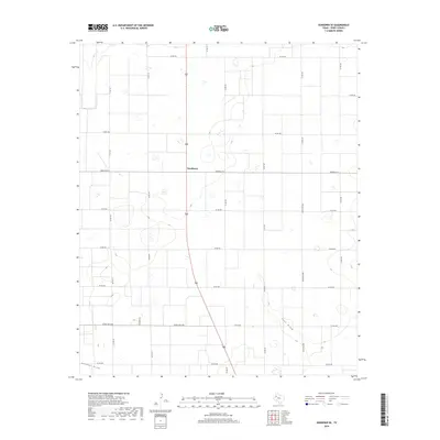
2019 Map of Sundown SE
USGS Topo · Published 2019About this map
Needmore serves as the central point of reference in this corner of the High Plains, situated within a vast grid of section roads and agricultural tracts. The landscape is defined by its subtle drainage patterns, notably the courses of Lost Draw and Sulphur Draw which meander through the southern and eastern portions of the quadrangle. These ephemeral watercourses are characteristic of the Llano Estacado, where natural drainage is often defined by broad, shallow depressions rather than permanent flowing rivers.
Find a feature on this map
22 named features on this map. Tap any name to fly to it.
Don’t see what you’re looking for? This feature index may not catch every label — zoom into the map to look around manually.
Map Details
Editions of this 2019 Sundown SE Map
This is the sole edition of this map. No revisions or reprints were ever made.
Other maps of this area

1954 · Brownfield
USGS Topo · 1:250,000

1957 · Meadow
USGS Topo · 1:62,500

1958 · Brownfield
USGS Topo · 1:250,000

1962 · Brownfield
USGS Topo · 1:250,000

1965 · Sundown
USGS Topo · 1:24,000

1965 · Lockettville
USGS Topo · 1:24,000

1969 · Brownfield East
USGS Topo · 1:24,000

1969 · Gomez
USGS Topo · 1:24,000

1969 · Sundown SE
USGS Topo · 1:24,000

1969 · Pool
USGS Topo · 1:24,000