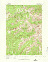
1956 Map of Sunlight Peak
USGS Topo · Published 1974About this map
Sunlight Mining Region sits at the heart of this high-elevation landscape, where the Absaroka Range defines the boundary between Yellowstone National Park and the Shoshone National Forest. The map documents a rugged interior managed through isolated outposts like the Upper Miller Creek Patrol Sta and Upper Lamar River Patrol Sta, alongside early habitations such as Hardee Cabins. This mid-century survey captures the region just as the North Absaroka Wilderness was designated, preserving a network of historic routes and campsites. One notable site is Camp Monaco (Historical Marker) on the North Fork Shoshone River, marking the location of a 1913 hunting trip involving Prince Albert I of Monaco and Buffalo Bill Cody. The map also traces the extensive Pack Trail system that linked remote peaks like Sunlight Peak and Hoodoo Peak with valley floors like Hoodoo Basin.
Find a feature on this map
46 named features on this map. Tap any name to fly to it.
Don’t see what you’re looking for? This feature index may not catch every label — zoom into the map to look around manually.
Map Details
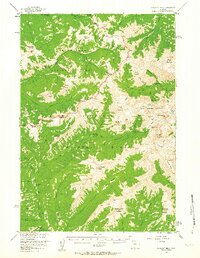
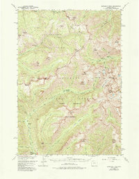
Editions of this 1956 Sunlight Peak Map
4 editions found

Other maps of this area

1885 · Lake
USGS Topo · 1:125,000

1886 · Canyon
USGS Topo · 1:125,000

1893 · Ishawooa
USGS Topo · 1:125,000

1895 · Ishawooa
USGS Topo · 1:125,000

1895 · Canyon
USGS Topo · 1:125,000

1895 · Lake
USGS Topo · 1:125,000

1896 · Lake
USGS Topo · 1:125,000

1896 · Canyon
USGS Topo · 1:125,000

1896 · Crandall Creek
USGS Topo · 1:125,000

1899 · Crandall
USGS Topo · 1:125,000