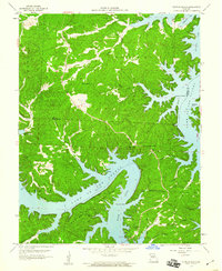
1959 Map of Sunrise Beach
USGS Topo · Published 1960About this map
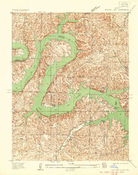
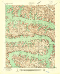
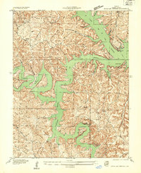
Lake of the Ozarks dominates this late-1950s survey, where the intricate shoreline of the Osage River and Gravois Arm defines the local geography. The map illustrates the development of lakeside communities like Sunrise Beach and Purvis alongside the older rural fabric of the region. Distinctive landmarks such as the Hurricane Deck Lookout Tower at Hurricane Deck stand out against the heavily dissected terrain.
Find a feature on this map
38 named features on this map. Tap any name to fly to it.
Don’t see what you’re looking for? This feature index may not catch every label — zoom into the map to look around manually.
Map Details
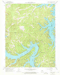
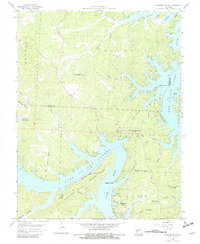
Editions of this 1959 Sunrise Beach Map
3 editions found
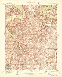
Other maps of this area

1888 · Versailles
USGS Topo · 1:125,000

1893 · Versailles
USGS Topo · 1:125,000

1904 · Eldon
USGS Topo · 1:62,500

1904 · Gravois Mills
USGS Topo · 1:62,500

1932 · Versailles No 4
USGS Topo · 1:48,000
1934 · Camdenton
USGS Topo · 1:24,000

1934 · Purvis
USGS Topo · 1:24,000
1934 · Irontown Ferry
USGS Topo · 1:24,000
1934 · Lake Ozark
USGS Topo · 1:24,000
1934 · Green Bay Terrace
USGS Topo · 1:24,000