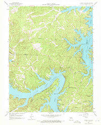
1959 Map of Sunrise Beach
USGS Topo · Published 1972About this map
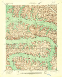
Lake of the Ozarks dominates this 1959 revision, capturing the intricate shoreline of the Osage River valley as it winds through the borders of Morgan and Camden Counties. The map highlights the early development of Sunrise Beach and the smaller settlement of Purvis, illustrating how the mid-century expansion of the reservoir transformed the local landscape. Family-named landmarks and historical sites are scattered throughout the wooded hollows, including St Patricks Ch and the Hurricane Deck Lookout Tower, which provides a vantage over the surrounding ridges. Along the finger-like inlets of the Gravois Arm, researchers can locate several small burial grounds such as Stevens Cem and Silvey Cem, preserving the names of the area's earlier inhabitants before the major recreational development of the late 20th century.
Find a feature on this map
43 named features on this map. Tap any name to fly to it.
Don’t see what you’re looking for? This feature index may not catch every label — zoom into the map to look around manually.
Map Details
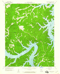
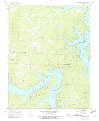
Editions of this 1959 Sunrise Beach Map
3 editions found
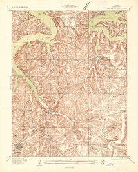
Other maps of this area

1888 · Versailles
USGS Topo · 1:125,000

1893 · Versailles
USGS Topo · 1:125,000

1904 · Eldon
USGS Topo · 1:62,500

1904 · Gravois Mills
USGS Topo · 1:62,500

1932 · Versailles No 4
USGS Topo · 1:48,000
1934 · Camdenton
USGS Topo · 1:24,000

1934 · Purvis
USGS Topo · 1:24,000
1934 · Irontown Ferry
USGS Topo · 1:24,000
1934 · Lake Ozark
USGS Topo · 1:24,000
1934 · Green Bay Terrace
USGS Topo · 1:24,000