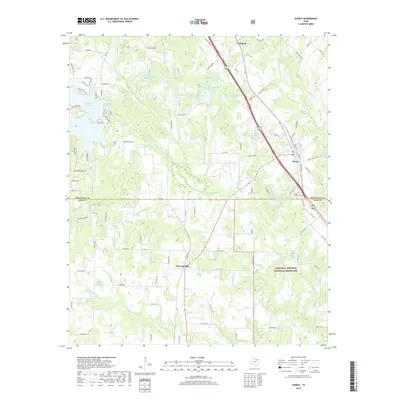
2019 Map of Sunset
USGS Topo · Published 2019About this map
Sunset sits at the junction of several regional routes, serving as a primary settlement within this portion of North Texas. The surrounding landscape is defined by the headwaters and tributaries of several prominent waterways, including Big Sandy Cr, Cowskin Cr, and Turkey Cr. The southern portion of the area is occupied by the protected territory of the Lyndon B. Johnson National Grassland, highlighting the region's commitment to land conservation and prairie restoration.
Find a feature on this map
89 named features on this map. Tap any name to fly to it.
Don’t see what you’re looking for? This feature index may not catch every label — zoom into the map to look around manually.
Map Details
Editions of this 2019 Sunset Map
This is the sole edition of this map. No revisions or reprints were ever made.
Other maps of this area

1905 · Montague
USGS Topo · 1:125,000

1954 · Sherman
USGS Topo · 1:250,000

1958 · Sherman
USGS Topo · 1:250,000

1961 · Salona
USGS Topo · 1:24,000

1961 · Brushy Mound
USGS Topo · 1:24,000

1961 · Selma
USGS Topo · 1:24,000

1961 · Alvord
USGS Topo · 1:24,000

1961 · Sunset
USGS Topo · 1:24,000
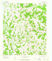
1961 · Smyrna
USGS Topo · 1:24,000

1961 · Bowie
USGS Topo · 1:24,000