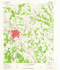
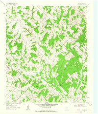
1961 Map of Bowie
USGS Topo · Published 1963About this map
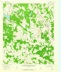
Bowie serves as a major north Texas crossroads where the Chicago Rock Island and Pacific and the Fort Worth and Denver railroads intersect. This 1961 field-checked survey reveals a landscape transitioning from the cattle-driving era to a twentieth-century petroleum and gravel economy. Surrounding the town center, numerous neighborhood institutions like the North Ward Sch and South Ward Sch anchor the residential core, while the outskirts are marked by intensive energy development in the Hildreth Oil Field and the Mueller Oil Field.
Find a feature on this map
38 named features on this map. Tap any name to fly to it.
Don’t see what you’re looking for? This feature index may not catch every label — zoom into the map to look around manually.
Map Details
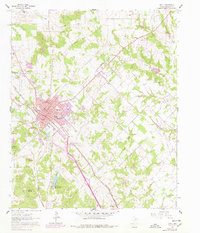
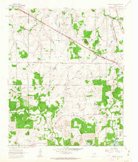
Editions of this 1961 Bowie Map
2 editions found
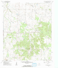
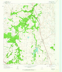
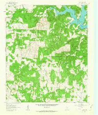
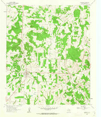
Other maps of this area

1905 · Montague
USGS Topo · 1:125,000

1954 · Sherman
USGS Topo · 1:250,000

1958 · Sherman
USGS Topo · 1:250,000
1960 · Buzzard Roost Knob
USGS Topo · 1:24,000
1961 · Stoneburg
USGS Topo · 1:24,000
1961 · Salona
USGS Topo · 1:24,000
1961 · Brushy Mound
USGS Topo · 1:24,000
1961 · Selma
USGS Topo · 1:24,000
1961 · Montague
USGS Topo · 1:24,000
1961 · Sunset
USGS Topo · 1:24,000