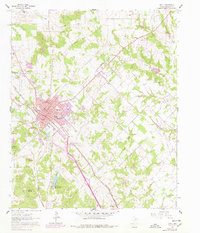
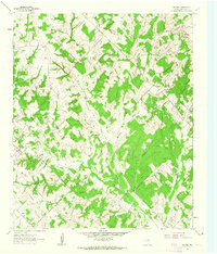
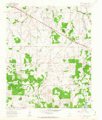
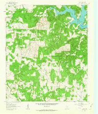
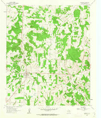
1961 Map of Bowie
USGS Topo · Published 1978About this map
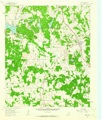
The railroad town of Bowie serves as a central hub in Montague County, defined by the junction of the Chicago Rock Island and Pacific and the Fort Worth and Denver railroads. The grid of the city center is detailed down to street-level names like Jefferson St and Elba St, alongside civic institutions such as North Ward Sch and Elmwood Cemetery. The landscape transitioning away from the urban center reveals an economy rooted in resource extraction and agriculture, evidenced by the Hildreth Oil Field and scattered Gravel Pits.
Find a feature on this map
47 named features on this map. Tap any name to fly to it.
Don’t see what you’re looking for? This feature index may not catch every label — zoom into the map to look around manually.
Map Details
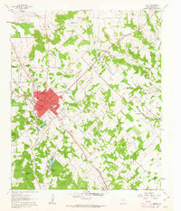
Editions of this 1961 Bowie Map
2 editions found
Other maps of this area

1905 · Montague
USGS Topo · 1:125,000

1954 · Sherman
USGS Topo · 1:250,000

1958 · Sherman
USGS Topo · 1:250,000
1960 · Buzzard Roost Knob
USGS Topo · 1:24,000
1961 · Stoneburg
USGS Topo · 1:24,000
1961 · Salona
USGS Topo · 1:24,000
1961 · Brushy Mound
USGS Topo · 1:24,000
1961 · Selma
USGS Topo · 1:24,000
1961 · Montague
USGS Topo · 1:24,000
1961 · Sunset
USGS Topo · 1:24,000