2022 Map of Sunset
USGS Topo · Published 2022About this map
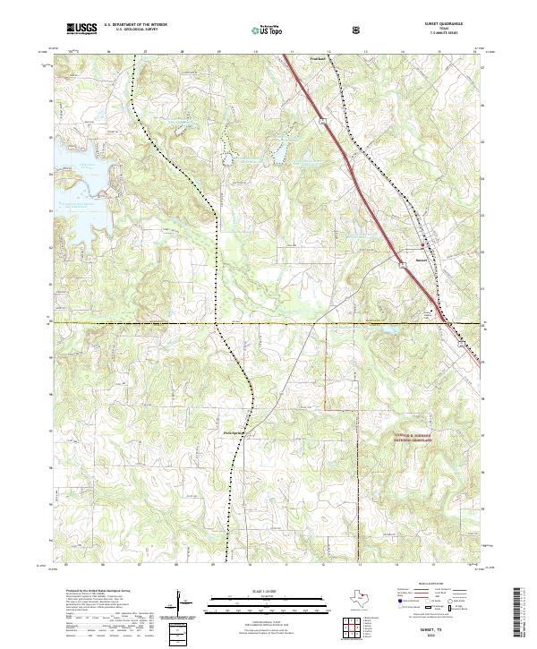
Sunset serves as a central hub on the boundary of Montague and Wise Counties, where the local road network converges around the Sunset Beasley Cem and Sunset School Rd. The landscape is defined by the management of water resources, with numerous designated sites such as Soil Conservation Service Site 13 Reservoir and Soil Conservation Service Site 14 Reservoir dotting the terrain. This systematic conservation effort supports the surrounding environment, which transitions into the protected acreage of the Lyndon B. Johnson National Grassland in the southeast. To the west, the waters of Lake Amon G Carter provide a significant geographical anchor near Fossil Hl. Small communities like Fruitland and Park Springs are connected by a web of rural routes and creek crossings, including Big Sandy Cr and Cowskin Cr, reflecting a region deeply tied to its natural drainage patterns and land conservation history.
Find a feature on this map
93 named features on this map. Tap any name to fly to it.
Don’t see what you’re looking for? This feature index may not catch every label — zoom into the map to look around manually.
Map Details
Editions of this 2022 Sunset Map
This is the sole edition of this map. No revisions or reprints were ever made.