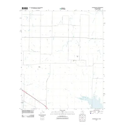
2011 Map of Sunshine Hill
USGS Topo · Published 2011About this map
Sunshine Hill Oil Field defines much of the industrial character in this portion of Wichita County, indicating the long-standing importance of petroleum extraction to the local economy. The settlement of Sunshine Hill sits near the center of the sheet, while Floral Mound provides a second named locus for rural community life. The landscape is defined by a dendritic network of drainage systems, most notably North Fork Buffalo Creek and the curiously named Tenth Cavalry Creek, which suggest the historical paths of water and military movement through the North Texas plains. A grid of rural roads, such as Fowlkes Station Rd and Midway Church Rd, connects these remote outposts and historical creek crossings, offering a detailed look at the property divisions and infrastructure of the region during the early twenty-first century.
Find a feature on this map
30 named features on this map. Tap any name to fly to it.
Don’t see what you’re looking for? This feature index may not catch every label — zoom into the map to look around manually.
Map Details
Editions of this 2011 Sunshine Hill Map
This is the sole edition of this map. No revisions or reprints were ever made.
Other maps of this area

1915 · Clara
USGS Topo · 1:24,000

1915 · Barwise School
USGS Topo · 1:24,000

1916 · Electra
USGS Topo · 1:24,000

1916 · Iowa Park
USGS Topo · 1:24,000

1916 · Fowlkes
USGS Topo · 1:24,000

1917 · Beaver Creek
USGS Topo · 1:24,000

1918 · Electra
USGS Topo · 1:31,680

1918 · Barwise School
USGS Topo · 1:31,680

1918 · Clara
USGS Topo · 1:31,680

1918 · Iowa Park
USGS Topo · 1:31,680