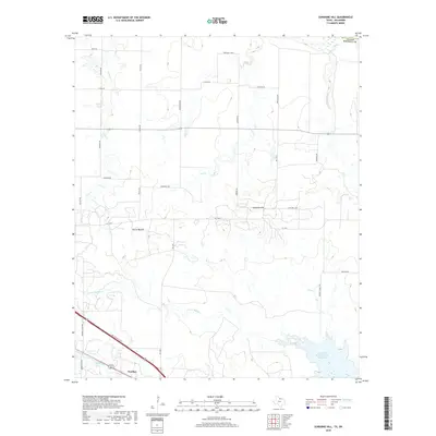
2019 Map of Sunshine Hill
USGS Topo · Published 2019About this map
Floral Mound and the community of Sunshine Hill define the rural topography of Wichita County in the late 2010s. The landscape is marked by a complex network of ephemeral waterways, including Cole Creek, Long Creek, and the uniquely named Tenth Cavalry Creek, which feed into the larger drainage systems to the south. Near the southern boundary, the settlement of Fowlkes sits adjacent to the North Fork Buffalo Creek Reservoir, a significant local water feature fed by North Fork Buffalo Creek.
Find a feature on this map
33 named features on this map. Tap any name to fly to it.
Don’t see what you’re looking for? This feature index may not catch every label — zoom into the map to look around manually.
Map Details
Editions of this 2019 Sunshine Hill Map
This is the sole edition of this map. No revisions or reprints were ever made.
Other maps of this area

1915 · Clara
USGS Topo · 1:24,000

1915 · Barwise School
USGS Topo · 1:24,000

1916 · Electra
USGS Topo · 1:24,000

1916 · Iowa Park
USGS Topo · 1:24,000

1916 · Fowlkes
USGS Topo · 1:24,000

1917 · Beaver Creek
USGS Topo · 1:24,000

1918 · Electra
USGS Topo · 1:31,680

1918 · Barwise School
USGS Topo · 1:31,680

1918 · Clara
USGS Topo · 1:31,680

1918 · Iowa Park
USGS Topo · 1:31,680