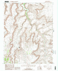
1988 Map of Supai
USGS Topo · Published 1988About this map
Supai serves as the focal point of this late-20th-century topographic record, located deep within the Havasupai Indian Reservation. The village is accessible via the Lee Pack Trail and supported by infrastructure including a Heliport and Landing Strip. The map detail traces the path of Havasu Creek as it flows north through the canyon floor, punctuated by the dramatic drops of Fiftyfoot Falls and the iconic Havasu Falls.
Find a feature on this map
32 named features on this map. Tap any name to fly to it.
Don’t see what you’re looking for? This feature index may not catch every label — zoom into the map to look around manually.
Map Details
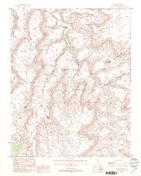
Editions of this 1988 Supai Map
2 editions found
Other maps of this area

1886 · Kaibab
USGS Topo · 1:250,000

1953 · Grand Canyon
USGS Topo · 1:250,000

1957 · Grand Canyon
USGS Topo · 1:250,000

1958 · Grand Canyon
USGS Topo · 1:250,000

1960 · Grand Canyon
USGS Topo · 1:250,000

1962 · Kanab Point
USGS Topo · 1:62,500

1962 · Tuckup Canyon
USGS Topo · 1:62,500

1962 · Supai
USGS Topo · 1:62,500

1962 · National Canyon
USGS Topo · 1:62,500

1984 · Grand Canyon
USGS Topo · 1:100,000