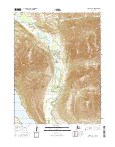
2016 Map of Survey Pass A-1 NE
USGS Topo · Published 2016About this map
Mt Hal Waugh dominates the southwestern quadrant of this Alaskan landscape, part of a high-altitude wilderness defined by its dramatic glacial topography. The Iniakuk River carves a winding path through the center of the terrain, eventually reaching the southeastern waters of Iniakuk Lake. These drainages, including Cummings Cr, represent the primary natural corridors through the high peaks and valleys. This 2016 survey provides an exacting record of the contemporary shoreline and hydrological patterns in the Yukon-Koyukuk region, where the lack of roads or permanent settlements highlights the isolation of this portion of the interior.
Find a feature on this map
8 named features on this map. Tap any name to fly to it.
Don’t see what you’re looking for? This feature index may not catch every label — zoom into the map to look around manually.
Map Details
Editions of this 2016 Survey Pass A-1 NE Map
This is the sole edition of this map. No revisions or reprints were ever made.
Other maps of this area

1951 · Survey Pass
USGS Topo · 1:250,000

1951 · Wiseman
USGS Topo · 1:250,000

1956 · Wiseman
USGS Topo · 1:250,000

1956 · Survey Pass
USGS Topo · 1:250,000

1964 · Survey Pass
USGS Topo · 1:250,000

1964 · Wiseman
USGS Topo · 1:250,000

1966 · Survey Pass
USGS Topo · 1:250,000
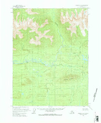
1970 · Wiseman A-6
USGS Topo · 1:63,360
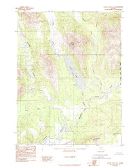
1986 · Survey Pass A-1
USGS Topo · 1:63,360
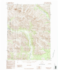
1986 · Wiseman B-6
USGS Topo · 1:63,360