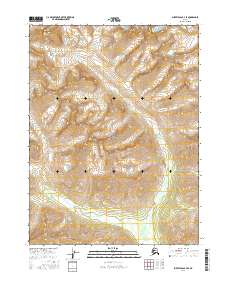
2016 Map of Survey Pass B-3 SE
USGS Topo · Published 2016About this map
Gates of the Arctic National Park encompasses nearly the entirety of this 2016 survey, revealing the high-altitude headwaters and dramatic topography of the central Brooks Range. The Continental Divide winds through the northwestern corner of the quadrangle, serving as the literal apex of the landscape where western-bound waters separate from those flowing north or east. In the southern half of the sheet, the Kobuk River begins its long journey through the Arctic wilderness, appearing here as a high-elevation drainage fed by the numerous unnamed draws and peaks of the Endicott Mountains. This map captures a pristine wilderness environment where the only human-made markings are the invisible lines of the Public Land Survey System, such as t22n r21e and t23n r21e, superimposed over some of the most remote terrain in the United States.
Find a feature on this map
9 named features on this map. Tap any name to fly to it.
Don’t see what you’re looking for? This feature index may not catch every label — zoom into the map to look around manually.
Map Details
Editions of this 2016 Survey Pass B-3 SE Map
This is the sole edition of this map. No revisions or reprints were ever made.
Other maps of this area

1951 · Survey Pass
USGS Topo · 1:250,000

1956 · Survey Pass
USGS Topo · 1:250,000

1964 · Survey Pass
USGS Topo · 1:250,000

1966 · Survey Pass
USGS Topo · 1:250,000
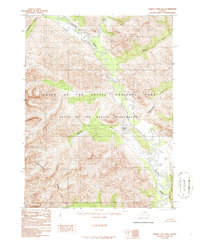
1986 · Survey Pass B-2
USGS Topo · 1:63,360
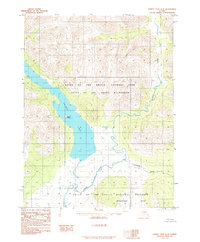
1986 · Survey Pass A-3
USGS Topo · 1:63,360
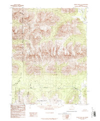
1986 · Survey Pass A-2
USGS Topo · 1:63,360
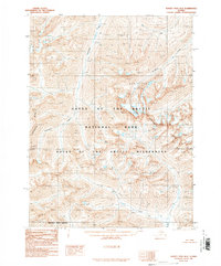
1990 · Survey Pass B-3
USGS Topo · 1:63,360
2016 · Survey Pass A-3 NE
USGS Topo · 1:25,000
2016 · Survey Pass B-3 NE
USGS Topo · 1:25,000