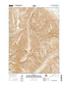
2016 Map of Survey Pass C-5 SW
USGS Topo · Published 2016About this map
Gates Of The Arctic National Park encompasses this entire sub-section of the Schwatka Mountains in northern Alaska. The landscape is defined by its extreme elevations, reaching a local peak at Oyukak Mtn on the western edge. This topographic study reveals the headwaters and drainage patterns of the high Arctic, where the Noatak River cuts through the northeast corner of the quadrangle while southern drainages like Iyahuna Cr and Arch Cr flow through deeply carved valleys. The map illustrates a wilderness devoid of modern infrastructure, preserving the natural state of the Brooks Range as it existed in the early 21st century. The intricate contour lines highlight the sharp relief of the mountain ridges and the glacial-carved corridors that dictate the movement of water and wildlife through this protected landscape.
Find a feature on this map
12 named features on this map. Tap any name to fly to it.
Don’t see what you’re looking for? This feature index may not catch every label — zoom into the map to look around manually.
Map Details
Editions of this 2016 Survey Pass C-5 SW Map
This is the sole edition of this map. No revisions or reprints were ever made.
Other maps of this area

1951 · Survey Pass
USGS Topo · 1:250,000

1956 · Survey Pass
USGS Topo · 1:250,000

1964 · Survey Pass
USGS Topo · 1:250,000

1966 · Survey Pass
USGS Topo · 1:250,000
1990 · Survey Pass B-5
USGS Topo · 1:63,360
1990 · Survey Pass C-6
USGS Topo · 1:63,360
1990 · Survey Pass B-6
USGS Topo · 1:63,360
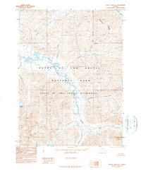
1990 · Survey Pass C-5
USGS Topo · 1:63,360
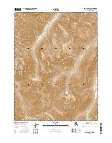
2016 · Survey Pass B-5 NW
USGS Topo · 1:25,000
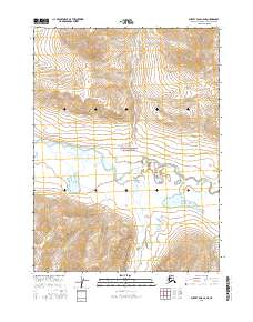
2016 · Survey Pass C-6 NE
USGS Topo · 1:25,000